RECOR
IBGE and Federal Institute of Brasília conduct remote monitoring study in the Cerrado


March 26, 2025 03h33 PM | Last Updated: April 01, 2025 01h36 AM
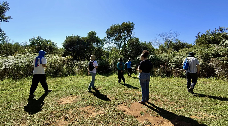
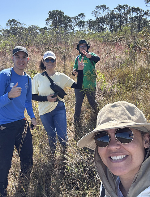
Researchers from the Federal Institute of Brasília (IFB), in partnership with a team from the IBGE Ecological Reserve (RECOR), located in the Federal District (DF), conducted, in March, a step of the study on the use of remote monitoring as a survey tool in areas of the Cerrado Reserve. The study, which started in May 2024, has as objectives the improvement of uses of different remote sensing mapping techniques focused on peculiarities of the Cerrado and the supply of data for managers of RECOR.
The work consisted of the use of high-resolution satellite images to generate mapping of the main classes of information about the type of vegetation in the Cerrado, such as the forest, savannah, characteristics Fields, exposed soil and a type of fern commonly found in covering degraded areas of the Cerrado, being an obstacle to the natural regeneration of typical species in the region. Remote monitoring generates information that may help detect the occurrence and regeneration of vegetations under some kind of impact or indicate the occurrence of other changes in the place.
According to the professor responsible for the survey, Thanan Rodrigues, a professor of Geotechnologies of the Geography undergraduate course at the Federal Institute of Brasília, the main objective of the study is to provide data to be used by managers of the Reserve and to conduct monitoring throughout the year, so that they can make decisions based on fast and reliable data. “We also tested the application of remote monitoring tests aligned with a branch of Artificial Intelligence. The Reserve is a protected area that preserves the original characteristics of the Cerrado, and considering this environment, we can work as a in a laboratory of the great area of the Cerrado and so we will succeed in expanding the study to a greater natural area.”
“The work is important for us to know the balance between, for example, a field area and a forest one. It is important to know if a change – desirable or not – in in progress. And, in some cases, it is possible to identify some disturbance. In this study, specifically, we identify a type of fern, an opportunistic plant that colonizes a degraded area when certain conditions are found. This tool allows detecting an invasion, illicit acts occurring in the area, natural changes and others caused by disturbance,” mentioned the analyst of the IBGE’s Department of the Environment and Geography (GMAG), Frederico Takahashi.
The start of field activities, with visits for the presentation of the types of vegetation and registration of coordinates was in May 2024. The survey showed the application of this technique in satellite images obtained between 2021 and 2024 to evaluate the transition between a type of coverage and other and compare the status of the vegetation with that in previous years.
 Results of mappings produced by machine learning – RECOR File

“It is important to foster proximity between the public power and science, and, in this specific project, we visualize the future, because in the realm of public service we can fulfill a necessity found there. Remote sensing is a promising Science that has been producing fast results that can be used in these institutions. In the next phase of the Project, we are going to use drone generated images that provide better visualization of the area so that we have a more detailed view of the characteristics of the Reserve,” stated professor Thanan Rodrigues.